
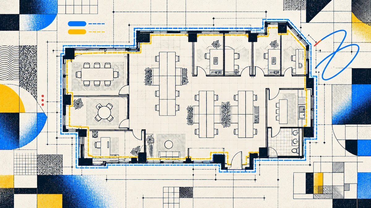
Der Grundriss eines gewerblichen Inserats und die Quadratmeterzahl im Mietvertrag sind nicht dasselbe. Der Grundriss hilft Interessenten dabei, die Raumaufteilung zu verstehen. Die Quadratmeterzahl wird nach einem Messstandard berechnet; bei der Bürovermietung wird üblicherweise der BOMA-Standard zur Ermittlung der vermietbaren Fläche herangezogen.
Sie können einen Grundriss an einem Nachmittag per Smartphone-Scan erstellen. Für die offizielle Flächenangabe benötigen Sie einen Vermessungsprofi. Dieser Leitfaden erklärt, wie Sie mit Polycam einen Grundriss für ein gewerbliches Mietinserat erstellen, wann Sie Pix4D für größere Projekte einsetzen sollten und wie Sie vermeiden, dass Scan-Messwerte an falscher Stelle verwendet werden.
Wichtige Erkenntnisse
- Polycam lets you scan with a LiDAR iPhone or iPad and quickly create an editable 2D or 3D floor plan right on your device. You can export your plan as a PDF, PNG, SVG, or layered DXF file.
- Pix4D's indoor workflow produces a 3D point cloud, not a drawn plan. It suits very large floors and survey-grade projects with a CAD drafter on the team.
- Scan accuracy can change in spaces larger than 5,000 square feet or near glass and shiny floors. Always double-check important measurements while you’re still on site.
Was ein Grundriss für ein gewerbliches Mietinserat enthalten muss
Bevor eine Besichtigung stattfindet, prüfen der Makler und der Architekt des Interessenten den Grundriss. Sie achten auf die Grenzen und Eingänge der Mieteinheit, Fensterfronten, Säulen, feste Räume wie Toiletten und Serverräume sowie die Gesamtgröße. Jede Version sollte einen Nordpfeil und den Hinweis enthalten, dass es sich um Zirkamaße handelt.
Das Inserat sollte ein Bild oder PDF des Grundrisses enthalten. Der Architekt des Mieters benötigt eine CAD-Datei, um die Raumplanung zu testen. Polycam kann beide Formate aus demselben Scan exportieren.
Was Sie benötigen
- You’ll need a LiDAR-enabled iPhone or iPad to capture the floor plan.
- Polycam’s Business plan, which costs $400 per user per year, includes floor plans and advanced measurement tools. Annual plans also include a 7-day free trial.
- Make sure you have permission from the owner and, if the suite is occupied, from the tenant. Remember, the scan will capture anything visible, like screens, whiteboards, or paperwork.
Polycam vs. Pix4D für gewerbliche Grundrisse
| Polycam | Pix4D (PIX4Dcatch + PIX4Dmatic) | |
|---|---|---|
| Built for | Floor plans, measurements, and sharing from one app | Photogrammetry and LiDAR for surveying and construction |
| Output | Editable 2D and 3D floor plan, generated on the device | 3D point clouds and models, with CAD-ready deliverables from desktop software |
| Large spaces | Extend mode for connected rooms, with wider tolerance over 5,000 sq ft | Multiple scans merged with printed Autotag targets |
| Extra steps to a plan | Review, label, export | Process, merge, then draft the plan in CAD |
| Best fit | Makler, Vermieter, Immobilienverwalter, Ausbauunternehmer | Vermessungs- und VDC-Teams, ganze Gebäude, georeferenzierte Projekte |
When scanning large interiors, positional errors can build up. This is a phenomenon called drift. To help adjust for this drift, Pix4D recommends that you place printed Autotags around the space. In their test, a phone with tag detection had an average error of 7 pixels, compared to 41 pixels without tags. Using this method, Pix4D mapped a 2,000-square-meter office with five merged scans and about 5,000 photos.
The result is a merged point cloud in PIX4Dmatic, Pix4D’s desktop software. To turn this into a floor plan for a listing, someone still needs to trace the walls in CAD. This approach works well for mapping an entire building, projects that need site coordinates, or teams already using CAD. If you just need a plan for a suite or single floor quickly, Polycam is faster.
How to Make the Floor Plan With Polycam
1. Prepare the space
Turn on all the lights, because low lighting can make the scan less accurate. Glass partitions and polished concrete, which are common in offices, can scatter the sensor’s signal. After scanning, check these areas carefully.
2. Plan your route and begin to scan
Wählen Sie den Raum-Modus, wenn Sie sowohl ein 3D-Netz als auch einen Grundriss benötigen, oder nutzen Sie den Grundriss-Modus für einen schnelleren Rundgang entlang der Außenwände. Halten Sie 1 bis 2 Meter Abstand zu den Oberflächen, bewegen Sie sich langsam und erfassen Sie jeden Übergang zwischen Wand und Boden sowie jede Ecke.
Plan the order in which you’ll scan the rooms before you start. For example, when I scanned a two-story house without planning, I walked through the main hallway several times, which left unwanted artifacts in the 3D mesh. Office corridors can cause the same problem, since scanning the same spot more than once creates conflicting data.
If you’re scanning a large floor, break it into zones. Measurements are usually more accurate within a single segment than across several, so treat each zone as a separate reference area.
3. Edit and label
The plan will process on your device in just a few minutes. You can rename rooms, adjust walls, edit door and window openings, and remove any furniture you don’t want to show. Switch between metric and imperial units as needed.
4. Verify your capture before you publish
Polycam’s standard interior scans are accurate within about half an inch. This tolerance can get wider if the space is complex or large. Since errors can add up over longer distances, always check the longest measurements with a laser first.
5. Export for each audience
Export a PDF or PNG for the listing and offering memorandum, and use a layered DXF file for importing into AutoCAD or Revit. You can also share a link to the 3D model, so out-of-town prospects can view the space before visiting.
Already Have an Old Plan? Digitize It
Viele Vermieter verfügen über einen PDF- oder Papierplan vom letzten Ausbau. Mit dem Grundriss-Digitalisierer von Polycam lassen sich JPG-, PNG- oder PDF-Dateien sowie Fotos von ausgedruckten Plänen in bearbeitbare Grundrisse mit Wänden, Türen, Fenstern und geschätzten Raumgrößen umwandeln. Dies funktioniert, sofern sich das Layout seit der Erstellung der Zeichnung nicht verändert hat. Falls ein Umbau stattgefunden hat, scannen Sie den Raum erneut.
Square Footage: What the Scan Can and Can't Tell You
Der Raumbericht liefert die Grundfläche, Raumgrößen und Deckenhöhen für den von Ihnen gescannten Bereich. Diese Daten unterstützen Sie bei der Planung und bei der Beantwortung von Fragen potenzieller Interessenten.
Die vermietbare Fläche ist keine dieser Zahlen. Der BOMA 2024-Bürostandard, ANSI/BOMA Z65.1-2024, berechnet diese und deckt Konfigurationen für Einzelmieter, mehrere Mieter sowie mehrere Gebäude ab. Ein Scan einer Einheit misst lediglich das, was sich innerhalb der abgelaufenen Wände befindet, und ist keine nach diesem Standard berechnete Kennzahl. Veröffentlichen Sie den Grundriss im Inserat und beauftragen Sie einen Vermessungsexperten für die Mietflächenberechnung.
When scanning large interiors, positional errors can build up. This is a phenomenon called drift. To help adjust for this drift, Pix4D recommends that you place printed Autotags around the space. In their test, a phone with tag detection had an average error of 7 pixels, compared to 41 pixels without tags. Using this method, Pix4D mapped a 2,000-square-meter office with five merged scans and about 5,000 photos.
The result is a merged point cloud in PIX4Dmatic, Pix4D’s desktop software. To turn this into a floor plan for a listing, someone still needs to trace the walls in CAD. This approach works well for mapping an entire building, projects that need site coordinates, or teams already using CAD. If you just need a plan for a suite or single floor quickly, Polycam is faster.
How to Make the Floor Plan With Polycam
1. Prepare the space
Turn on all the lights, because low lighting can make the scan less accurate. Glass partitions and polished concrete, which are common in offices, can scatter the sensor’s signal. After scanning, check these areas carefully.
2. Plan your route and begin to scan
Choose Space mode if you want both a 3D mesh and a floor plan, or use Floorplan mode for a quicker walk around the perimeter. Stay 3 to 6 feet from surfaces, move slowly, and capture every wall-floor junction and corner.
Plan the order in which you’ll scan the rooms before you start. For example, when I scanned a two-story house without planning, I walked through the main hallway several times, which left unwanted artifacts in the 3D mesh. Office corridors can cause the same problem, since scanning the same spot more than once creates conflicting data.
If you’re scanning a large floor, break it into zones. Measurements are usually more accurate within a single segment than across several, so treat each zone as a separate reference area.
3. Edit and label
The plan will process on your device in just a few minutes. You can rename rooms, adjust walls, edit door and window openings, and remove any furniture you don’t want to show. Switch between metric and imperial units as needed.
4. Verify your capture before you publish
Polycam’s standard interior scans are accurate within about half an inch. This tolerance can get wider if the space is complex or large. Since errors can add up over longer distances, always check the longest measurements with a laser first.
5. Export for each audience
Export a PDF or PNG for the listing and offering memorandum, and use a layered DXF file for importing into AutoCAD or Revit. You can also share a link to the 3D model, so out-of-town prospects can view the space before visiting.
Try it on one vacancy. Start a free 7-day Business trial
Already Have an Old Plan? Digitize It
Many landlords have a PDF or paper plan from the last build-out. Polycam’s floor plan digitizer can take JPG, PNG, or PDF files, even photos of printed plans, and turn them into editable plans with walls, doors, windows, and estimated room sizes. This works if the layout hasn’t changed since the drawing was made. If there’s been a build-out, scan the space again.
Square Footage: What the Scan Can and Can't Tell You
The Spatial Report provides the floor area, room sizes, and ceiling heights for the space you scanned. These numbers help with planning and answering questions from prospects.
Die vermietbare Fläche ist keine dieser Zahlen. Der BOMA 2024-Bürostandard, ANSI/BOMA Z65.1-2024, berechnet diese und deckt Konfigurationen für Einzelmieter, mehrere Mieter sowie mehrere Gebäude ab. Ein Scan einer Einheit misst lediglich das, was sich innerhalb der abgelaufenen Wände befindet, und ist keine nach diesem Standard berechnete Kennzahl. Veröffentlichen Sie den Grundriss im Inserat und beauftragen Sie einen Vermessungsexperten für die Mietflächenberechnung.








