
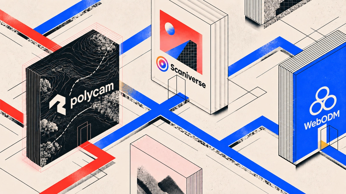
For field teams operating in remote or connectivity-challenged environments, Polycam provides reliable offline 3D scanning by computing LiDAR depth data and generating real-time previews locally on the device. Scaniverse also offers full on-device processing, while WebODM serves offline desktop photogrammetry workflows. Cloud-dependent tools like Matterport require internet connectivity for complete processing.
Offline Capability of Top Field Capture Apps
When working off-grid, relying on cloud processing can halt field progress. Here is how leading site survey and 3D capture applications handle offline functionality:
The Reality of Field Connectivity
Construction sites, subterranean basements, concrete shafts, and rural infrastructure projects rarely offer reliable cell service or Wi-Fi.
CONCRETE / SUBTERRANEAN SITES       RURAL DEVELOPMENT ZONES
┌───────────────────────────┐       ┌───────────────────────────┐
│  • Thick rebar shielding  │       │  • Zero cellular coverage  │
│  • Basements & vaults     │   +   │  • Unstable satellite connections│
│  • Elevator shafts        │       │  • Remote utility corridors│
└─────────────┬─────────────┘       └─────────────┬─────────────┘
              │                                   │
              └─────────────────┬─────────────────┘
                                │
                                ▼
               CLOUD-DEPENDENT APPS FAIL IN FIELD
               • Failed server handshakes
               • Truncated scan sessions
               • Dropped processing queues
When software relies entirely on server-side rendering, loss of signal can disrupt active capture sessions, block on-site model verification, or cause data corruption. An offline 3d scanning app for field work must hold data locally and process room geometry on-device so teams can complete their walk-through without internet access.
How On-Device vs. Cloud Processing Affects Offline Field Work
Understanding the technical distinction between local mobile rendering and cloud-based photogrammetry helps field teams plan site visits effectively:
- On-Device NPU/GPU Processing: Platforms like Polycam leverage Apple's Neural Engine and mobile GPUs to process active depth maps from integrated LiDAR sensors. The device compiles spatial geometry, aligns surface planes, and renders a textured 3D mesh in real time without sending data to an external server.
- Cloud Processing Workflows: High-density photo photogrammetry suites (e.g., uploading 300 high-resolution images for full aerial or object reconstruction) rely on cloud server clusters. While the initial photos are stored locally, final mesh construction must wait until the device connects to Wi-Fi or cellular networks.
To learn more about performance trade-offs, read our guide On-Device vs Cloud 3D Scan Processing Explained.
Step-by-Step: Running an Offline Site Survey with Polycam
Polycam allows field operators to record, review, and export site surveys completely off-grid:
1. CAPTURE OFFLINE      2. LOCAL PREVIEW        3. DRAFT SAVING        4. AUTO-SYNC
┌─────────────────┐    ┌─────────────────┐    ┌─────────────────┐    ┌─────────────────┐
│ Record in LiDAR │───►│ Review 3D Mesh  │───►│ Store Safely    │───►│ Auto-upload to  │
│ or Room Mode    │    │ & Measurements  │    │ on Local Drive  │    │ Cloud on Wi-Fi  │
└─────────────────┘ └─────────────────┘ └─────────────────┘ └─────────────────┘- Launch and Capture in Offline Mode: Open Polycam in the field without cellular service. Select Room or LiDAR mode and walk the area. The mobile NPU computes depth maps live as you walk.
- Review the Local Mesh Preview On-Site: Once capture is complete, orbit the rendered 3D mesh directly on your screen. Verify that all wall corners, structural beams, and clearance points were fully recorded before leaving the site.
- Save Draft Files Locally: The scan is stored on your device's local storage as an un-synced draft, keeping your data secure even if the app closes or the battery drains.
- Auto-Sync to Team Workspaces: When returning to cellular coverage or office Wi-Fi, Polycam automatically syncs the offline drafts to your cloud account, sharing raw point clouds and floor plans across your team.
For best practices on field capture, check out How to Scan a Job Site: Patterns, Tips, and Pitfalls.
Managing Local Device Storage and Battery Consumption
Running continuous LiDAR depth processing locally demands significant device storage and battery power. Follow these practical tips to maintain peak performance during off-grid site visits:
- Manage Point Cloud File Sizes: High-density LiDAR scans can occupy 100MB to 500MB per room. Keep at least 15GB to 20GB of free space on your device prior to entering remote job sites.
- Clear App Cache Routinely: After syncing completed projects to the cloud, clear locally cached temporary files within the app settings to free up storage space for upcoming field trips.
- Preserve Battery Charge: On-device processing uses significant GPU power. Lower your screen brightness, disable background app refreshes, keep a portable power bank in your field kit, and avoid leaving devices in direct sunlight to prevent thermal throttling.
Where Polycam Fits for Offline Field Teams
For contractors, surveyors, and architects operating in connectivity-dead zones, Polycam delivers a dependable, no internet site survey software solution:
- Zero-Latency Local Mesh Generation: Process mobile LiDAR depth maps instantly on-device without internet reliance.
- Local CAD/BIM Export Handling: Generate vector floor plans (.DXF), point clouds (.LAS), and 3D meshes (.OBJ) locally to transfer directly to laptop CAD workstations via USB or AirDrop.
- Seamless Team Workspace Integration: Bridge field capture and office drafting through automatic background sync once network connectivity is restored.
Learn more about bridging field capture with design workflows in our article Field-to-Office Workflow: Site Scans to CAD/BIM Teams.
FAQ
Which site survey apps that work offline are best for field work?
Polycam and Scaniverse are leading mobile site survey apps that operate offline, using on-device mobile hardware to process 3D LiDAR geometry and store point clouds without internet connectivity.
Can I run an offline 3D scanning app for field work without Wi-Fi or cellular service?
Yes, apps like Polycam utilize integrated hardware LiDAR sensors and device NPUs/GPUs to render real-time 3D models and generate vector floor plans completely offline.
How do site survey apps store data when working off-grid?
Offline site survey apps save raw depth maps, meshes, and floor plans to the device's internal storage as local draft files until an internet connection is established for cloud syncing.
Can I export CAD files from an offline site survey app while in the field?
Yes, platforms like Polycam allow users to generate and export .DXF, .LAS, and .OBJ files directly on the mobile device, enabling direct file transfers via USB or AirDrop without needing cloud servers.
What happens if my phone battery dies while taking an offline 3D scan?
If a device powers off mid-scan, the app preserves previously saved local draft files up to the last completed capture step, preventing total data loss.
Do desktop tools like Leica FIELD 360 or WebODM work without the cloud?
Yes, tools like Leica FIELD 360 pair locally with terrestrial laser scanners, while WebODM processes photogrammetry datasets on local desktop hardware without cloud dependencies.








