
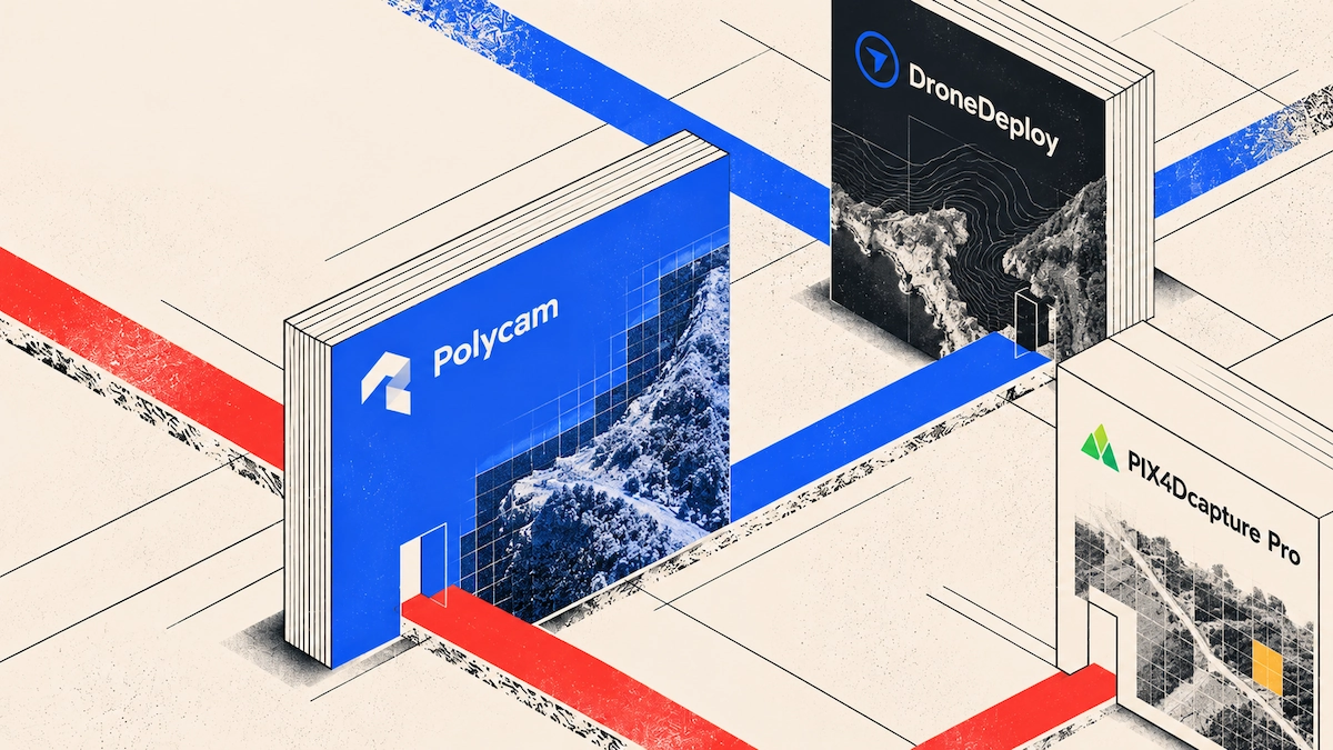
After landing your drone, the footage stays on the SD card, often in a spot with weak signal. These apps let you handle everything from your phone because the heavy processing happens on a server, not your device. Just transfer the files, start the process, and your model will be ready on your screen once you have a good connection.
What Each App Lets You Do From the Field
| App | Mobile capture | Upload from phone | Processing | Notable limit |
|---|---|---|---|---|
| Polycam | Drone footage from any aircraft | In the app from your camera roll, or web | Server-side, started from the app | Needs a solid connection; 16GB video cap on any plan |
| DroneDeploy | Automated flight for supported DJI aircraft | iOS and Android, free app | Cloud | Flight automation tied to supported hardware |
| PIX4Dcapture Pro | Autonomous missions, offline maps, RTK support | Uploads to PIX4Dcloud | Cloud or desktop | Free app, but processing is a separate Pix4D license |
| Manufacturer flight apps | Flight and capture only | No | None | Processing is always a separate product |
Connection Matters More Than Hardware
You can process drone footage right from your phone, and with Polycam, you do it straight in the app. A strong internet connection matters more than having a high-end phone, since all the heavy work happens on a server.
DroneDeploy handles everything in the cloud, so you do not need a powerful computer. Tasks like matching up hundreds of images, building a detailed point cloud, and making a textured mesh can take hours on a desktop, so these tools can't run them on your device.
Uploading needs a live connection, and a good wifi network can send a grid flight in minutes, while weak LTE might not work at all. If you are on a rural site, in a basement, or anywhere with just one bar, you will need to wait for better coverage before you can start reconstruction.
What does that mean for a day on site?
Treat flying and uploading as two separate steps. Fly while you are on site, then upload the files when you have a signal. This could be from your truck, the site office, or your hotel later that day.
File size often catches people off guard, since drone videos are big. A 16GB file will not upload over weak LTE in the field; it could take all night, if the connection even holds. That is why several apps compress files before uploading.
If you need results the same day, check your coverage before you go out. If you cannot upload until tomorrow, your capture will not be ready until then, no matter how fast the processing runs.
Polycam
How do you process drone footage in Polycam?
Drone images and videos use Object Mode just like handheld captures. Polycam turns them into photogrammetry for an editable mesh or into Gaussian splats for a photorealistic result. There is no separate drone workflow to learn and no aircraft compatibility issues, since Polycam works from the media, not by controlling the flight.
Using your phone is the same as usual. Move the footage from the SD card to your camera roll, either with your drone’s app or a card reader. Then open Polycam, pick the files, and start processing. With good Wi-Fi, you do not need a laptop.
The web version handles larger files better, so if you have a full grid flight with lots of overlap, upload from a browser when you are back at your desk. For smaller jobs, your phone works just fine.
The published limits show what you can upload. For drone footage on the web, you can use 20 to 1,000 images in PNG or JPG, or videos from 15 seconds to 30 minutes, with a 16GB limit per video. For best results, use at least 60 photos or a minute of footage with 80 percent overlap in all directions.
You get a textured 3D model you can use to measure distance, area, and volume; add notes; and share as a web link. You can export in formats like OBJ, FBX, and LAS. Photogrammetry is available on every plan, and Gaussian splats are included with Basic and higher.is the part we leave to somebody else. Polycam does not plan or fly a mission, so that happens in whatever app your aircraft came with. If you already fly, that is one fewer subscription to hold.
DroneDeploy
What can you do from the DroneDeploy mobile app?
DroneDeploy offers one of the most complete workflows on a single device, since it manages both the flight and the data.
Their mobile app is free on iOS and Android. It automates flight planning for supported DJI drones, so it handles coverage and overlap. The documentation explains how to capture with settings that work best for processing and how to reduce file size by up to ten times, which helps with uploading.
From your phone, you can match captured media to design files or a project floor plan and send it to the right project without leaving the site. They also offer live streaming of drone footage back to your team for inspections and emergencies, plus thermal and plant health live map modes for industries that need them.
Autonomous flight works with many DJI models, plus the Anzu Raptor and Raptor T on their own controller. Processing is even broader, accepting data from Skydio, Wingtra, Parrot, Yuneec, Autel, senseFly, Flyability Elios, and Freefly aircraft the app cannot fly. If flight is unsupported, you can still process the datasets in the web app. So, if you have an unusual drone, just fly it in its own app and upload the imagery afterward.
PIX4Dcapture Pro
Which app works best without a signal?
Where does Pix4D fit for drone work?
Pix4D handles what happens after the flight, not the flight itself, so you fly in whatever app your aircraft came with and upload the imagery afterward.
PIX4Dcloud is the browser-based route and the cheapest entry point in this comparison, starting at $49.20 a month with an Advanced tier at $249. Upload from a laptop once you are back on a proper connection, and the reconstruction runs on their servers.
Survey teams end up on their desktop line. PIX4Dmatic handles large datasets, PIX4Dmapper covers general photogrammetry, and PIX4Dsurvey converts point clouds into CAD-ready vectors, each licensed on its own.
The App Already on Your Controller
Manufacturer flight apps plan the mission, fly the aircraft, and save footage to the SD card. Every manufacturer that offers reconstruction sells it as a separate product.
The app that came with your drone gets you the footage. Turning that footage into something you can measure is a separate step, and that is what all the options above help with.
Which one should you actually use?
If you already fly and just want your footage turned into a model, Polycam takes media from any aircraft without needing a new flight app, and sends back a model you can measure and export.
If you want to plan the flight and handle the data from the same phone, DroneDeploy gives you the most complete single-app solution, as long as your aircraft is on their list.
If your team works to a survey specification, Pix4D is a good choice, with RTK support and a path into established GIS workflows. Just remember, you will need to license capture and processing separately.
No matter which option you choose, your phone handles capture and upload, not reconstruction. Plan your day around when you will have a signal, not how fast the processing is.
FAQ
What are the best mobile apps to process drone captures?
All of them reconstruct on a server rather than locally on the phone, so the choice is about how much of the workflow runs from the field. Polycam takes drone media from any aircraft straight from your camera roll and processes it in the app through Object Mode. DroneDeploy handles flight planning and upload from a free iOS and Android app. All of them reconstruct in the cloud.
Can I process drone footage without internet?
Reconstruction runs on a server, so it needs an active connection. Capture while you are on site and process once you have coverage, ideally on wifi rather than a weak mobile signal, since upload speed decides how long you wait.
How long does drone processing take?
That depends on file size and the service, and none of them are instant. On a remote site, the bigger factor is usually upload time rather than processing, which is why several apps compress footage before sending it.
What file formats can I upload?
Polycam accepts PNG and JPG images, and MP4, MOV, AVI, and M4V video, with the 16GB video cap applying to every plan. For drone footage on the web, the published range runs from 20 to 1,000 images.
Can I fly without a signal?
You can fly, and PIX4Dcapture Pro supports offline basemaps so you keep a visual reference where there is no coverage. Processing is different, since uploading to any of these cloud services requires a connection.
Which mode do I use for drone footage?
In Polycam Object Mode, the same one you would use for a handheld capture. Choose photogrammetry for an editable mesh you can measure and export, or Gaussian splats for a photorealistic result. Neither treats drone media as a separate kind of input.
How many photos do I need?
For drone work, we recommend at least 60 photos or a minute of video, with 80 percent overlap in all directions. The published minimum is 20 images, though more coverage gives you a better reconstruction.
Do I need a specific drone?
Not for Polycam, which works from the media rather than the aircraft. Drone images and video are ordinary images and video, so Object Mode handles them like any other capture. Automated flight planning in DroneDeploy or PIX4Dcapture Pro does need your aircraft to be on their supported list.








