
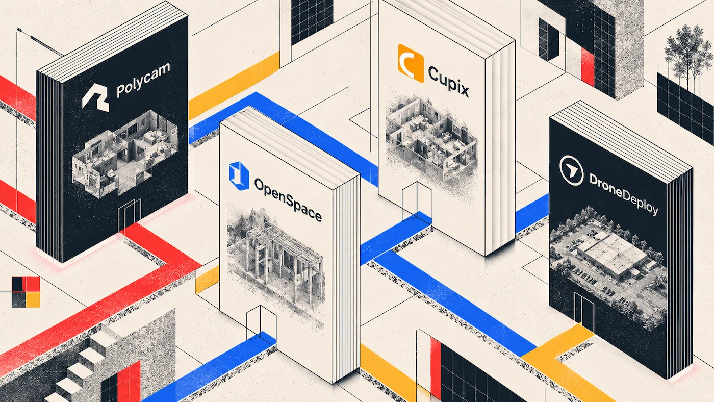
On a construction site, there are three main types of 3D work. You have the weekly walkthrough to track progress, aerial captures for the whole site and earthworks, and close-up scans of interiors before they get covered. Each task has its own set of apps, so it helps to start by deciding which job you need to do.
The Options at a Glance
| App | Built For | Capture Method | Entry Cost | Connects To |
|---|---|---|---|---|
| Polycam | Interiors, as-builts, floor plans, drone footage | Phone LiDAR, photogrammetry, drone video or images | $400/yr per user (Business) | CAD and BIM via DXF and point cloud exports |
| OpenSpace | Recurring progress documentation | Phones, 360 cameras, drones, laser scanners | Custom quote on annual construction volume, $10,000 minimum | Procore, Autodesk, Revizto |
| Cupix | Progress plus BIM comparison over time | 360 video, laser scans, drone imagery | By plan and space captured | Autodesk BIM360 and Forma, Revizto, Oracle, ArcGIS |
| DroneDeploy | Site-scale aerial mapping | Drone photogrammetry | $4,188/yr, single seat | Procore, Autodesk Construction Cloud, BIM 360 |
| Pix4D | Professional photogrammetry processing | Drone photogrammetry | PIX4Dcloud from $49.20/mo | Survey and GIS workflows |
| Matterport | Client-facing walkthroughs | Pro camera or phone | Tiered plans, priced by active spaces | Wide, though CAD and BIM export needs Pro camera capture |
What Construction Actually Needs From 3D Data
Construction projects usually have four different 3D data needs, and most jobs have all of them happening at the same time in different areas.
Progress documentation is needed most often. Someone walks the site each week and creates a record to compare with previous weeks and the model. Here, it’s more important to keep things simple and consistent than to be perfectly precise, since long captures are less likely to happen regularly.
Aerial mapping covers the parts of the site you can’t walk, like earthworks, stockpiles, perimeters, roofs, and laydown yards. This is where drone photogrammetry is useful, and where accuracy tools become important.
Building-scale captures focus on interiors. This includes rooms, MEP rough-ins, as-builts, and pre-pour or pre-close-up records that can’t be redone once concrete or drywall is installed.
The handoff step decides which apps are truly useful. If you need to send point clouds to Revit, you’ll use Autodesk ReCap. For AutoCAD, you’ll want a layered DXF file. If an app can’t export these formats, you’ll end up with isolated data, no matter how good the capture looks.
Which app is best for tracking construction progress?
OpenSpace and Cupix are both built for this pattern. Somebody captures while walking their normal rounds, and the software places the imagery at the right point on the floor plan afterward.
OpenSpace accepts capture from phones, 360 cameras, drones, and laser scanners, and maps each image to its location automatically. They quote documenting 25,000 square feet in ten minutes, with the 360 view ready roughly fifteen minutes later. Pricing is a custom quote based on annual construction volume rather than per user or per project, with a stated minimum of $10,000, and project members are unlimited. That last part matters on a job where forty people across trades all want the same capture. Their integrations run to Procore, Autodesk and Revizto, and they describe the Procore and Autodesk connections as two-way, so observations and issues raised in OpenSpace sync back.
Cupix builds spatial as-built context in 3D from 360 video, combining it with laser scans and drone imagery in one place. What distinguishes it for construction is time-series comparison across visits, so the same space can be set against itself at different stages and against the model. Pricing depends on your plan and the amount of space captured, and integrations cover Autodesk BIM360 and Forma, Revizto, Oracle, and ArcGIS.
Both are priced for contractors who need to document progress regularly. If you only need to capture existing conditions a few times each quarter, these options probably won’t be cost-effective.
Which app is best for drone mapping a construction site?
DroneDeploy is the established platform here, with automated flight planning, cloud processing, orthomosaics, 3D models and inspection reports. Their Flight & Analysis plan runs $4,188 a year for a single admin user license, capped at 3,000 images per map. Their published connector list covers Procore alongside Autodesk Construction Cloud and BIM 360, and exports run to GeoTIFF, LAS, DXF and OBJ. Cut and fill against a design surface and unlimited ground control point processing sit in a higher, quote-only tier, which is where earthworks work actually lives.
Pix4D offers a lower entry point, with PIX4Dcloud yearly subscriptions starting at $49.20 a month and an Advanced cloud plan at $249. The trade-off is that Pix4D sells several separately licensed products, so the entry price buys one piece rather than a full workflow.
Polycam can also process drone footage, using video or images to create point clouds in LAS, PLY, PTS, and XYZ, as well as DXF. It does not support RTK or ground control points, so it is not suitable for measured earthworks or survey-grade results. For visual site records and rough geometry with a flat subscription, it works well.
The main question is whether your aerial data needs to be measured or just viewed. If you need cut and fill calculations, stockpile counts, or grading checks, you’ll need accuracy tools. For simple site records, you won’t.
What captures the inside of a building on a construction site?
Using a phone is usually the easiest way to capture interiors, since it fits into a regular site visit without extra effort.
Polycam handles interiors through Space mode and Floorplan mode, producing a mesh, a virtual walkthrough, a 3D floor plan and a measured 2D plan from a single pass. LiDAR captures reach within half an inch on standard interiors. Floor plans export to PDF, DXF, PNG, SVG and CSV, and point clouds to LAS, PLY, PTS, XYZ and DXF on Business and Enterprise, at $400 a year per user.
You can’t redo pre-pour or pre-close-up captures, so they only happen if someone on site can do them without needing special equipment. An app that anyone can use helps you catch moments that a scheduled scanner might miss.
Matterport suits construction where a client-facing walkthrough is part of the deliverable. One constraint applies to as-built workflows: per their own price list, any model containing smartphone or spherical camera scans loses the option to purchase E57, BIM, or CAD exports. An as-built pipeline ending in Revit therefore needs Pro camera capture. Check collaborator counts against your team size too, since Matterport’s Professional plans include ten collaborators and Business plans fifty.
How does captured data reach Revit or AutoCAD?
The path is the same regardless of which app captured it. Export LAS, convert it through Autodesk ReCap into an RCS or RCP file, then link that into Revit as a point cloud reference and model against it. For AutoCAD linework, a layered DXF keeps walls, openings, and labels as separate editable geometry rather than a flat image.
The main difference between apps is which export formats they offer and on which plans. It’s best to check this before your project starts, because if you can’t export your capture, you’ll have to do it again. For more details, see Point Cloud Export Formats Explained.
Which combination should we actually run?
Most construction teams use two tools instead of just one, usually choosing them based on how often and how large the captures need to be.
If your main need is a weekly visual record with BIM comparison, and you document continuously at volume, OpenSpace or Cupix are built for that and priced accordingly.
If your main need is site-scale aerial with measured volumes, DroneDeploy’s Advanced tier or Pix4D handle it, and you should budget for ground control points and the time they take on site.
If your main need is interiors, as-builts and floor plans captured by whoever is already there, phone capture covers it at a fraction of the cost, with drone footage processing on the same subscription.
If you need all three types of capture, most teams use a progress platform for regular walkthroughs, phone capture for quick or one-off needs, and bring in aerial mapping separately when they need to measure volumes.
FAQ
What are the best 3D mapping apps for construction sites?
It depends on the job. OpenSpace and Cupix are made for recurring progress documentation. DroneDeploy and Pix4D handle site-scale aerial mapping. Polycam covers interiors, as-builts, floor plans, and drone footage with one subscription. Matterport is best for client-facing walkthroughs.
How much does construction 3D mapping software cost?
Polycam Business is $400 a year per user, and PIX4Dcloud starts at $49.20 a month. DroneDeploy’s entry plan is $4,188 a year for a single admin seat. OpenSpace does not publish fixed pricing, quoting based on annual construction volume with a $10,000 minimum. Cupix prices by plan and space captured, and Matterport by active spaces.
Can I map a construction site with just a phone?
For interiors, as-builts, floor plans, and progress records, yes. For site-scale aerial work or anything that needs measured volumes, you’ll need a drone and the right accuracy tools.
Which app integrates with Procore?
DroneDeploy and OpenSpace both list Procore integration, and OpenSpace says its Procore and Autodesk connections are two-way. Cupix connects to Autodesk BIM360 and Forma, Revizto, Oracle, and ArcGIS. Check with each vendor for the latest list, since these can change.
Do I need ground control points?
Only if the deliverable is a measurement someone will rely on. Cut and fill, stockpile volumes, and grading checks need them. Progress records, site condition documentation, and coordination references do not.
What is the cheapest way to start?
Use a phone you already own plus a subscription. That’s why most teams begin with interior and as-built capture, and add aerial mapping later when there’s enough measured work to justify it.








