
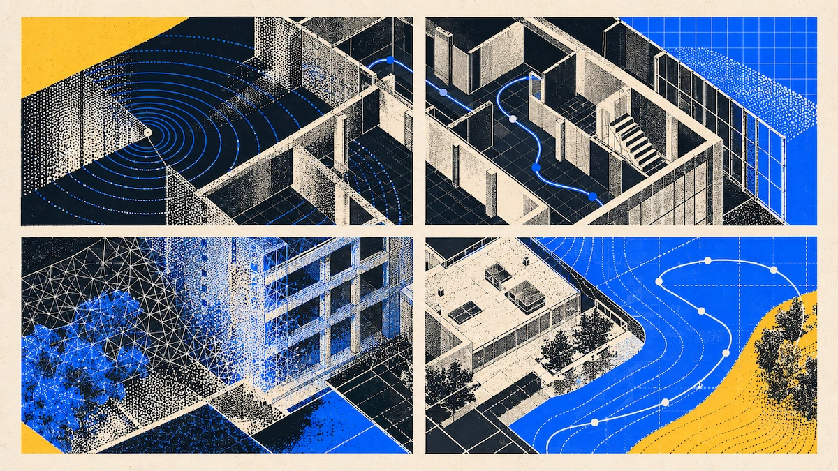
Reality capture is the process of turning a real-world space or object into usable 3D data. This process can create a mesh, a point cloud, or mapped images using LiDAR, photogrammetry, or both. In construction, teams use it to record existing conditions, track progress, and create as-builts, all without needing a tape measure. There are several ways to capture this data, including terrestrial LiDAR scanning, mobile LiDAR, photogrammetry, and drone or aerial capture. Most construction teams now use a mix of these methods.
Teams usually pick the method that fits their project best. Still, many firms just use the same method as their last job, even if it is not the best fit for accuracy, budget, or approach. This guide will show you what each workflow does, which tools are leading in each category, and how firms of all sizes build workflows around them instead of using one tool for every job. Once you know these three things, choosing the right tool is much easier. Here is how the four main methods compare.
The four categories
Every reality capture workflow on a construction site uses one of four main methods. These methods differ in three key ways for planning: how much setup they need, and the size of the space or object each tool is meant for. Understanding these factors is more helpful than just memorizing the methods.
Terrestrial LiDAR uses a tripod-mounted laser scanner to capture data from a fixed spot with certified millimeter-level accuracy. FARO’s Focus line and Leica Geosystems' scanners are well-known in this category. These scanners can cover long distances, but they are often expensive and use a setup-scan-move-register process that values precision over speed. Each scan position requires leveling the tripod and may take several minutes, depending on the space. To cover a complex site, you need to plan the scan positions in advance and combine them afterward.
Mobile LiDAR uses the same sensor as terrestrial LiDAR, but mounted on a handheld device rather than a tripod. Polycam is a good example. It works with the LiDAR sensor in iPhone Pro and iPad Pro models, letting you capture geometry as you walk instead of from fixed spots. You lose some range and certified accuracy compared to terrestrial LiDAR, but you gain speed, mobility, and a much lower cost. There’s no need to level a tripod or register scans separately because the device tracks its position as you move.
Not all phones have a LiDAR sensor. For teams without a LiDAR device or a terrestrial scanner, Polycam offers a non-LiDAR Space capture workflow. It’s faster than standard photogrammetry and offers a practical middle ground for capturing spaces when you don’t have ideal hardware.
Photogrammetry creates 3D geometry from overlapping photos rather than using a laser. RealityScan (formerly RealityCapture) is a top desktop tool for this, and Pix4D is popular for drone workflows. Polycam also supports photogrammetry in its mobile app, which helps if you don’t have a LiDAR device or need to capture bigger objects. Photogrammetry doesn’t have the close-range limit of a phone’s LiDAR sensor, so it’s often better for things that are too big or too far away for LiDAR.
Drone or aerial capture brings photogrammetry, and now LiDAR, to places handheld or tripod devices can’t reach, like rooftops, site edges, and large infrastructure. DJI makes much of the hardware for this. Pix4D and RealityScan are common tools for processing drone images, and Polycam also supports drone photogrammetry. This lets you combine ground-level and aerial captures from the same project in one tool and get the same output formats.
Where each fits in a construction project
No single capture method works for an entire project because the best tool changes as the deliverable changes. A good way to plan a reality capture workflow is to align it with project phases rather than sticking to a single tool. For example, a firm might use mobile LiDAR for feasibility, terrestrial LiDAR for MEP coordination, and a drone for site development, all in the same job.
Most teams make mobile LiDAR their main tool throughout the project. Terrestrial LiDAR and drones come into play when there’s a specific need, such as greater accuracy or the ability to handle larger sites.
Decision by project type
Use this table as a starting point, not a rulebook. The "situational" cells are for cases where project details like site access, budget, equipment, or timeline affect the decision. The "best fit" cells are where the capture method itself, not just preference, makes one choice clearly right. For example, certified accuracy needs a certified instrument, and site-scale coverage needs something that flies.
Tool ecosystem overview
Polycam is the main mobile-first option here. It lets you capture with LiDAR, photogrammetry, and Gaussian splatting on a phone or iPad. You can also process drone photogrammetry, make floor plans, and export point clouds. Polycam is sold as a subscription, not as a hardware purchase. It is central to most workflows above because most teams already have it on their phones. You do not need to buy extra hardware or have a dedicated operator, and you can send outputs straight into CAD and BIM software instead of keeping them in a proprietary viewer.
FARO makes the Focus line of terrestrial laser scanners. These are certified, millimeter-accurate, tripod-mounted tools built for high-detail BIM, structural monitoring, and legal or regulatory survey work. Leica Geosystems offers similar hardware for the same certified-accuracy uses. These two brands compete directly for projects that need survey-grade documentation instead of just practical accuracy.
Epic Games' RealityScan is desktop photogrammetry software that builds 3D models from photos or laser scan data. It’s a common choice for processing large photo sets, drone surveys, or high-resolution object scans, especially when you want more control over settings than a mobile app gives. Pix4D offers similar photogrammetry capabilities but focuses more on drone mapping and survey-grade outputs, especially for large-area topographic and agricultural capture. DJI makes much of the drone hardware used in aerial capture workflows, but your choice of processing software (RealityScan, Pix4D, or Polycam’s drone photogrammetry tool) doesn’t depend on which drone you use.
Autodesk is mainly used for processing and authoring, not for capturing. ReCap handles point cloud processing, Revit is for BIM authoring, and AutoCAD is for 2D and 3D drafting. These are common places to send data from any of the capture tools above, no matter which method you used. Trimble plays a similar role, with GNSS and survey hardware on one side and software like Trimble Connect and SketchUp for processing. Trimble is often used on projects with a formal survey component tied to GNSS positioning.
Matterport is a camera-based reality capture platform best known for real estate and interior walkthroughs. But it's not purely a 360° photography tool: its cameras can use an integrated LiDAR sensor to build real 3D meshes and point clouds, not just stitched panoramic images, with exports (including E57 point clouds) that move into Autodesk and Procore workflows. Where it's best suited is browsable walkthroughs and general interior documentation, and its LiDAR mode extends that into as-built and light BIM-adjacent work
Building your reality capture stack
Small firms and independent contractors usually need just one tool: a mobile LiDAR app on hardware the team already owns. The cost of a terrestrial scanner or a drone program is not justified by project volume, and most small-firm documentation work (renovations, existing conditions, or small commercial jobs) fits what mobile LiDAR is designed for. A practical setup is simply a mobile scanner, such as Polycam, on a device the team already carries. This lets exports flow directly into the firm’s existing CAD software. There is no extra equipment to manage, no operator to train beyond a short onboarding, and no idle capital tied up in hardware between projects.
Mid-size firms usually add a second tool when projects get more complex. This could be a drone for site-scale or exterior work, or scheduled access to a terrestrial scanner for projects that need certified accuracy, with mobile LiDAR as the default. The best approach is to use mobile LiDAR as the baseline for a project and bring in the second tool only when a specific deliverable requires it. Renting or scheduling terrestrial scanning per project is often more efficient than buying a scanner outright, at least until scan volume justifies the purchase. This is also when a firm usually formalizes which capture type is used at each milestone, instead of leaving it to individual judgment for each project.
Large general contractors and enterprise AEC firms use a full stack: mobile LiDAR for quick, regular documentation, terrestrial scanning for detailed or legal work, drones for large sites, and a clear path for data into BIM software like Autodesk or Trimble. The focus is on workflow and deciding when to use each tool, where the data goes, and who manages the transition from field to office. These firms usually standardize exports, require a set point cloud format, and use IFC files for facility management. This keeps all project data consistent and usable, no matter the source.
FAQ
What is the best reality capture workflow for a construction site? There is no single answer because it depends on the project phase and the deliverable. In general, use mobile LiDAR for frequent documentation and design-phase measurements, terrestrial LiDAR for areas that require certified accuracy, and drone capture for anything at the site scale. Most active construction sites use at least two of the four categories during a project, and the firms that get the most value usually formalize this pattern into a standard workflow rather than choosing tools one by one for each new project.
Photogrammetry vs. LiDAR for indoor scans: which is better? For most interior architectural capture, LiDAR is faster and more consistent because it directly measures distance instead of inferring it from photos. Photogrammetry is better for small objects, detailed surface texture, or devices without a LiDAR sensor. Lighting matters too: photogrammetry depends on photo quality, so it performs worse in poor lighting than LiDAR, which emits its own infrared and does not rely on ambient light for depth measurement. Many tools, including Polycam, support both in the same app, so you can choose per capture instead of per project.
What are the top mobile 3D scanning apps, ranked? The answer depends on what matters most for your job. Accuracy, export formats, and ease of use all lead to different choices. Polycam is a top option for AEC workflows because it generates floor plans, exports for CAD, and creates point clouds. The best app depends on whether you need measured accuracy, visual walkthroughs, or CAD/BIM compatibility, since apps built for one use case often trade off the other two.
What reality capture tools work well for real estate listings? For real estate listings, most people use camera-based platforms like Matterport for easy, browsable walkthroughs. If you need measured floor plans or accurate square footage, mobile LiDAR tools are a great add-on, especially for renovation projects or when buyers want exact numbers instead of just photos. Many agents and appraisers use both: walkthroughs for buyers and mobile LiDAR scans for reliable measurements.
How do I create a textured mesh from a phone scan? Photogrammetry, using your phone’s regular camera instead of its LiDAR sensor, creates a textured mesh directly because the color comes from the same photos used to build the geometry. Polycam supports this in Object mode, which works best for smaller items and detailed surfaces, not full rooms. Desktop tools like RealityScan handle larger or higher-resolution photogrammetry projects for the same purpose, but the process is more involved than a mobile app’s automated workflow.
Do I need a drone for construction reality capture? Only if the project is too large for a handheld or tripod-mounted tool, like a full site perimeter, a large roof, or aerial topography. Most interior and building-scale documentation does not need a drone. It is a tool for specific project types, not something you need for every job.
How does reality capture data feed into BIM? Point cloud and mesh exports from any capture method- terrestrial LiDAR, mobile LiDAR, or photogrammetry- can be brought into BIM authoring software like Autodesk Revit, typically after passing through a point cloud processing tool like Autodesk ReCap. For the model to move between different software vendors without losing data, it typically needs to be exported in Industry Foundation Classes (IFC), the open standard maintained by buildingSMART International.
Is mobile LiDAR accurate enough to replace a terrestrial scanner? For interior documentation, design coordination, and most renovation or existing-conditions work, yes. For certified survey deliverables, structural monitoring, or long-range or large-scale capture, no. Mobile LiDAR’s accuracy and range are real but limited, and terrestrial LiDAR is still the right tool for high-detail, certified, or long-range work.








