
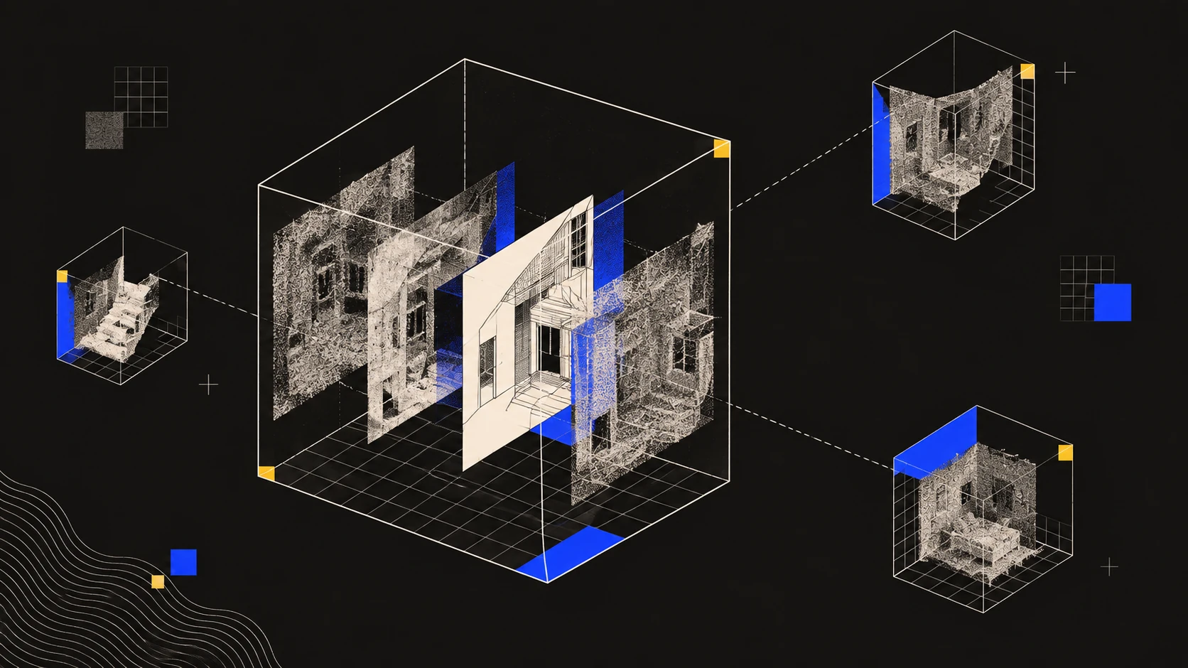
Send a link instead of a file. If you email a 3D capture as an export, the recipient might not have the right software to open it, especially if they're in a different time zone and can't get help right away. A link opens in any browser, and if you share a saved view instead of the whole model, your colleague will see exactly the spot you want them to, without searching.
What Breaks When the Reviewer Wasn't There
Why is sharing a scan harder across time zones?
The scan itself is rarely the issue. The real problem is that every misunderstanding can waste a whole workday, instead of just a quick conversation.
If you and the reviewer are in the same office, you can just walk over to clear up which column you mean. But if they're eight hours ahead, that same question can take a whole day to resolve, and it often takes two tries before everyone is on the same page.
Large file sizes make things harder. Point clouds are big, and someone working from a hotel probably can't download a huge export before their morning meeting. Even if they get the file, they might not have the right software or a computer powerful enough to open it.
Another issue is how many people can actually open the file, which often gets overlooked until it causes problems. Each platform and plan has its own limits, and a project with forty people in six offices can quickly run into restrictions you wouldn't notice on a smaller team.
Clark Nexsen, a multi-disciplinary AEC firm, said they cut project onboarding time in half by sharing scans between offices. This lets new team members understand a site without having to visit. That's the main benefit: the scan explains things, so you don't need to schedule calls at odd hours.
Send a Link Instead of an Export
How do you share a 3D scan without sending files?
Cloud-hosted scans work like sharing a document. You send a link, the recipient opens it in their browser without needing to install anything, and they can explore the space themselves instead of just seeing the screenshots you picked.
A structural engineer, a client, a local reviewer, or a new team member can all open the same link. They don't need your software or to know your file setup.
Public sharing lets people outside your company join in too. Inspectors, consultants, or owner's reps can get access without you having to make them an account or add them to the project.
Exports are still important, but for different reasons. You send files when someone needs to work with the geometry, not just view it. For example, a modeler using Revit needs a LAS file, a drafter wants a layered DXF, and a client usually wants a PDF. The most common mistake is sending a point cloud to someone who only wanted to see the room.
Point People at the Exact Spot
How do you show a colleague a specific area in a scan?
Saved views solve the problem of unclear directions, like "which column do you mean," and are one of the best habits for teams working in different locations.
A saved view marks a specific camera angle in the scan and can be shared as its own link. Anyone who opens it sees exactly what you saw, with no need to navigate or guess. Instead of writing a long description about where to find an issue, just send the view.
The time you save makes this worth adding to your workflow. If someone misunderstands a written location, it can waste a day. A saved view avoids that and can't be misunderstood.
Comments work similarly. When you pin a comment to a spot in the model, the conversation stays connected to the right place, instead of getting lost in email threads where you have to explain the context again and again.
Choosing a Platform for Shared Access
Which platforms let the whole team open a capture?
Access rules vary more than feature lists, so it's important to check them before choosing a platform for a multi-office project.
| Platform | Who gets access | How it is shared | Cost shape |
|---|---|---|---|
| Polycam | Per-user subscription, plus public links for outside parties | Browser links, saved views, pinned comments | $400/yr per user Business |
| OpenSpace | Unlimited project members | Cloud platform, captures mapped to floor plans | Annual construction volume, $10,000 minimum |
| Cupix | Plan dependent | Cloud platform, integrates with BIM360, Forma, Revizto, Oracle, ArcGIS | By plan and space captured |
| Matterport | Up to 10 collaborators on Pro plans, 50GB attachment storage Matterport | Cloud tours | Plan, plus per-space hosting and add-ons |
| Terrestrial scan files | Whoever holds the software licence | File transfer | Hardware purchase, from $26,500 for a BLK360 |
OpenSpace is a good fit for large contractors who need to document projects all the time. You can have unlimited project members, and the Enterprise plan is designed for companies with teams in different locations, letting staff log in with their usual company credentials. The main drawback is price: OpenSpace charges based on yearly construction volume, not per user, with a minimum of $10,000. This works for contractors who document weekly, but not for firms that only scan a few times a year.
Cupix creates 3D context from 360 video and combines it with laser scans, drone images, and BIM models. It's useful for distributed teams because it connects to tools like Autodesk BIM360, Autodesk Forma, Revizto, Oracle, and ArcGIS. This way, scans show up in the coordination tools your team already uses, instead of becoming another tab that gets ignored.
Matterport works well when you need to give clients a walkthrough. But there are two main limits for sharing: Pro plans allow up to ten collaborators and 50GB of storage, which isn't enough for a forty-person team. Also, according to their price list, if your model includes scans from a smartphone or spherical camera, you can't buy E57, BIM, or CAD exports. So, if you need to finish your workflow in Revit, you'll need Pro camera hardware.
Terrestrial scan data is shared as files, not as an interactive experience. This works for modelers but isn't helpful for others, so teams often publish a lighter version for review.
Getting the Capture to the Team in the First Place
Who should capture when the site is in another country?
Sharing only works if someone has scanned the building, and on international projects, that's a challenge by itself.
If you send a specialist, you have to deal with flights and scheduling. Sending a laser scanner means handling customs paperwork, insurance, and having the device stuck in transit instead of being used. Buying scanners for every region means paying for the same expensive equipment multiple times.
Using phones and tablets avoids all these issues, since people near the building already have the hardware. Clark Nexsen had their architects and engineers use their own phones and iPads for scanning, and they reported collecting complete site data in 75% less time than manual methods.
When you need very precise scans, it's better to hire a scanning contractor near the site than to ship equipment. The best approach is to have local staff scan the building with a phone first, review the results remotely, and then plan the specialist's visit based on what you already know. This way, you know exactly which rooms need detailed scanning.
Before You Hand Off
What should you check before sharing a capture?
Make sure you've covered everything before you leave the building. This is always good practice, but it's especially important when the reviewer is in a different time zone.
If you find a missing spot while you're still on site, it only takes two minutes to rescan. If a colleague finds it eight hours later, it can waste a whole day, and on an international project, it might mean sending someone back on a plane. Always review the mesh preview while you're still in the building, not after you leave.
Before you share, crop the scan. It only takes a minute to remove things like neighboring properties, parked cars, or mirror artifacts that show fake rooms. This saves reviewers from having to guess what's real.
Give your scans clear names, like project, zone, and date, so anyone can find what they need. Someone joining the project later should be able to pick the right session without opening a bunch of files, and often that person won't be you.
Finally, send the right format for each job: a viewer link for reviewers, a layered DXF for drafters, a LAS file for modelers using ReCap, and a PDF for clients. For more details on documentation, see Existing Conditions Documentation: A Guide.
FAQ
How do you share 3D scans across offices? Share a cloud link rather than a file. The recipient opens the capture in a browser without installing software, explores it in their own time, and leaves comments pinned to specific locations. Send exports only to people who will work on the geometry.
How do you show someone a specific area in a scan? Use a saved view, which bookmarks a camera position and shares as its own link. Whoever opens it arrives looking at exactly what you meant, which removes the round of clarifying messages that a described location usually costs.
How many people can view a capture at once? It depends on the platform. Matterport Pro plans support up to ten collaborators. OpenSpace allows unlimited project members. Polycam is priced per user with public links available for people outside your organization. Check this before committing a large project team to a platform.
Can people outside my company view a scan? Yes, through public link sharing, which gives access without creating accounts or adding people to your team. This is the usual route for inspectors, consultants and owner's representatives.
Do I need to ship a laser scanner to an international site? Usually not, and once you count carnets, customs, insurance, and transit time, it is rarely the cheapest option. Local staff can capture with phones for most documentation. For tight-tolerance work, engage a scanning contractor near the site.
What file format should I send to whom? A browser link for anyone reviewing, a layered DXF for CAD drafting, LAS converted through Autodesk ReCap for Revit modeling, and a PDF for clients. Sending a point cloud to someone who only wanted to see the room is the most common misstep.
What about data residency and security requirements? Compliance means a vendor meets a regulation's obligations; residency means you can choose which country your data physically sits in. Most platforms answer the first and are quieter on the second. Matterport's trust documentation, as an example of a clear answer, states that its infrastructure runs on AWS, that data is encrypted in transit and at rest with keys held separately, and that it addresses CCPA, GDPR, the UK Data Protection Act 2018 and PIPEDA, with a Data Processing Addendum available. If your client contract names a jurisdiction rather than a standard, ask each vendor whether hosting region can be selected, since that is a different capability from holding a certification.








